
Wooster Neighbors by Block Source
Public sources answer different questions about a block. The GIS map establishes visible parcels and links county property tools. A property card provides ownership, legal, sales, tax, and valuation context. Tax maps and surveys explain boundaries. Election tools describe registration infrastructure but are not a roster of everyone on a street. City civic listings describe organizations, not who belongs to them. This source-by-source approach avoids calling a nearby property owner, historic directory name, or civic group member a current neighbor without support.
| Source | What It Shows About a Block | Access |
|---|---|---|
| Auditor GIS | Visible parcels, parcel-number/owner/address popup, and linked county records | One parcel at a time; not a resident roster |
| Auditor property card | Parcel, legal, valuation, sales, tax, and ownership context | Owner, address, or parcel search; owner is not all occupants |
| Tax maps and surveys | Parcel, road, right-of-way, and boundary context | GIS layers and downloads; not household evidence |
| BOE Street Report | Street ranges used in the election system | Election infrastructure only; statutory protections apply |
| City civic directory | Named City-listed organizations | Context only, not an HOA or membership list |
| WCPL maps and directories | Historic address and block context | Runs vary and dates must be compared |
A property owner’s mailing address may be a post-office box, office, family contact, or another location. The situs is the parcel location. Neither field supplies a full household roster, and neither proves a social relationship with the surrounding Wooster neighbors.
Map Wooster Neighbors Parcel by Parcel
Use the Wayne County Auditor GIS Parcel Viewer to work outward from one address. The county guide says a selected parcel popup displays Parcel Number, Owner, and Address, with links to the Property Record Card, Transfer History, and Auditor Page. Clicking an immediately adjoining visible parcel opens that parcel’s own popup. It is a local, one-parcel-at-a-time method, not a bulk name search.
- Search the subject address, owner, or PIN and open the selected parcel popup.
- Record the displayed parcel number, owner, address, and the date of the map review.
- Open the linked Property Record Card, Transfer History, or Auditor Page only for the limited property question each one answers.
- Click each immediately adjoining parcel and make a separate note for every popup.
- Use the Legal tab, tax maps, surveys, and layers before describing another parcel as next door.
The flow is address → GIS popup → parcel number and boundary check → linked property record → immediately adjoining parcel. For a whole named street rather than the immediate block, the Wooster street directory uses a different address-led record chain.
Wayne County’s online-information tools show the county route for election and related public lookup resources.
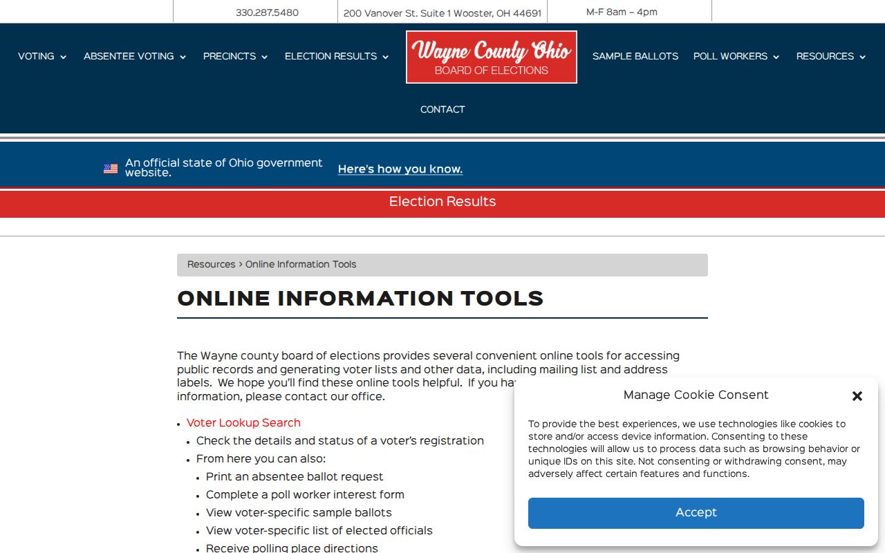
The county presents several self-service tools, but each one should be used only for the particular record type it describes.
Wooster Neighbor Boundaries Need Layers
A shared edge on a screen is only a starting condition. A road, alley, public right-of-way, easement, condominium layout, or divided tax parcel can make two places look closer than the legal record allows. Turn on the available GIS layers, inspect tax maps or survey downloads, and read the parcel Legal tab before describing parcels as adjacent. The measurement tool supplies spatial context, not a boundary decision.
The Auditor page separates a property’s situs, tax mailing address, and legal description. Treat those as separate fields. The legal description is the record that connects lots, blocks, subdivisions, or surveys to the actual parcel. When an address has a Wooster postal label but falls outside the City corporation limits, the township or municipal field also deserves a note. That distinction is often more useful than an assumed neighborhood label.
Note: Roads, alleys, easements, split lots, and map scale can change the apparent relation between parcels, so preserve the map date and layer used.
Wooster Neighbor Owner Limits
The Auditor search is a strong property bridge. It supports owner-name, address, parcel-number, and manufactured-home searches; its property pages can show Summary, Valuation, Legal, Tax Map Information, Sales, Land, and Tax material. Those records identify land-administration facts. They do not identify every resident at the parcel or establish that an owner lives at the situs. A tax-mailing field may differ from the property location for many ordinary reasons.
Official parcel material is usually more reliable than a generic commercial neighbor tool for a parcel number, legal description, recorded transfer, or tax context because it comes from the government custodian. It is narrower by design. Commercial tools may combine stale or mismatched source data, may charge for results, and cannot turn a property record into a verified household list. For a title question, confirm the instrument with the Recorder. For a map question, retain the GIS reference and date.
| Record route | Best limited use | What it cannot establish |
|---|---|---|
| Official parcel and GIS records | Parcel, owner-of-record, legal, and boundary context | Every person living at the address |
| Recorder instrument | Recorded conveyance and legal-description evidence | A current household roster |
| Commercial neighbor category | A lead to check against a custodian | Accurate ownership, residence, or relationship without verification |
Wooster Neighbor Voter Tools
Ohio Voter Search requires a first name, last name, and county, with a street-name choice only when the system prompts for it. It is an individual registration and polling-place utility, not an ordinary browseable street roster. Wayne County’s Board of Elections tools add Voter Report Generation, mailing labels, and Street Report Generation. The Street Report lists street ranges used in the voter-registration system. It does not identify every person who lives along those ranges.
Ohio Revised Code 3503.13 makes registration forms and the database generally public under the Public Records Act while withholding protected data, including Social Security and driver or state-ID information, phone, email, confidential-voter records, and other protected fields. The Board of Elections at 200 Vanover Street, Suite 1, Wooster, accepts focused public-record requests during regular hours. Ask for a particular report, date, or field set rather than trying to assemble a block list.
The Secretary of State also provides dated county voter snapshots through its DATA Act voter-data route. It uses election, start-date, end-date, and county choices, retains daily county snapshots for at least 22 months after an election, and does not publish a universal field inventory on the inspected page. Requesting a dated file does not turn it into a live neighbor list. The Board’s published phone number is (330) 287-5480 for a focused local records question.
The Ohio voter-record statute describes the public and protected sides of registration information.
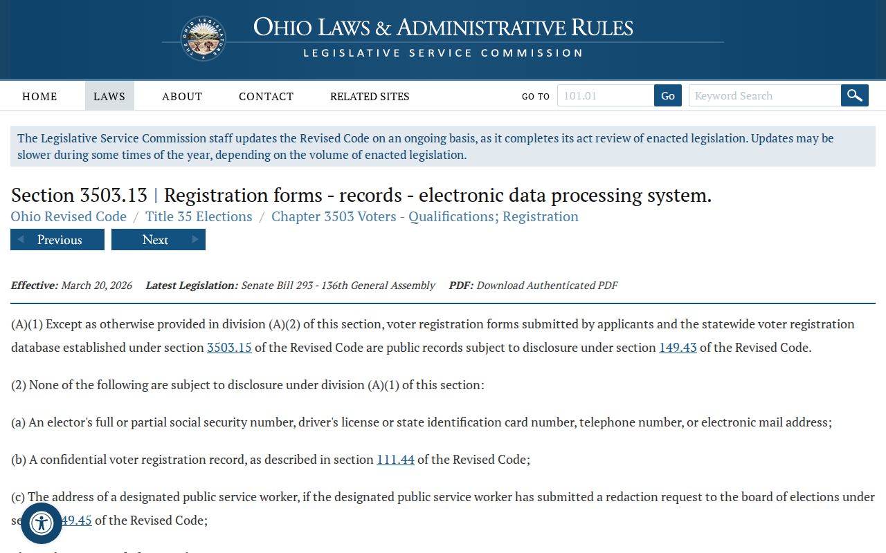
Voter participation is not a ballot choice, and a dated registration file is not a live household list.
Wooster Neighbor Civic Context
The City’s What’s On in Woo directory is a verified source for civic context around Wooster neighbors. It lists organizations such as Main Street Wooster, Friends of Wooster Memorial Park, Friends of Hospice, Kiwanis, AAUW, cultural organizations, and service clubs. A City-listed group can help identify local activities or public contacts. It does not show which households belong to a group, establish a neighborhood boundary, or create a connection to an address.
| City-listed context | Appropriate use |
|---|---|
| Main Street Wooster | Downtown civic and event context |
| Friends of Wooster Memorial Park | Park-related public activity context |
| Friends of Hospice | Community-service context |
| Kiwanis and AAUW | City-listed civic organization context |
Wooster’s community directory is the source for these organization listings.
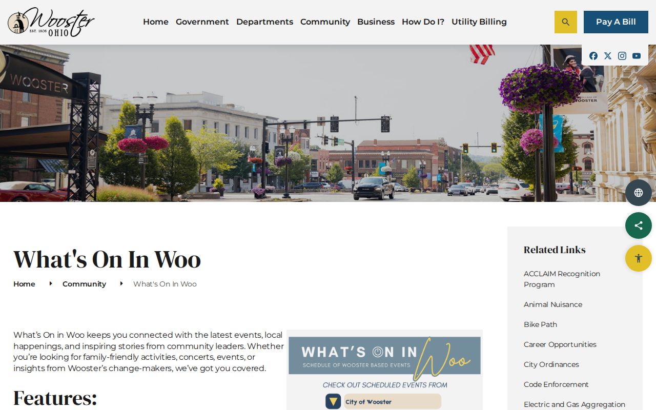
Use the directory to find public civic context, not to infer an association, membership, or resident list.
Wooster Has No Verified HOA List
No City-maintained citywide directory of neighborhood associations, an umbrella body, HOA names, or member rosters was verified in the research. It would be inaccurate to claim that a particular parcel has an association because a civic group appears nearby or a postal address says Wooster. Association coverage and publication policy must come from an organization that states its own boundary and contact method.
Historic neighborhood context is different. The 1873 and 1897 atlases, 1884 Sanborn views, and the Walsh 1923-24 street directory can help explain a block at a particular date. Compare the map or directory date, street configuration, building footprint, and legal description to current GIS. They do not convert a past label into a present roster of Wooster neighbors.
Note: Civic listings, historic maps, and postal labels are useful context but do not prove HOA coverage, membership, or a social relationship.
Privacy Limits for Wooster Neighbors
Ohio Safe at Home gives eligible survivors an address-confidentiality route and protects participant information in the voter system. Do not try to work around it through parcel, voter, or court searches. Ohio Revised Code 149.45 also provides online-redaction mechanisms for specified personal information and eligible designated public-service workers and their immediate family members. If a record appears protected or a display is unclear, stop and ask the responsible custodian for the correct access or redaction handling.
Ohio Safe at Home explains the official address-confidentiality program.
Confidential registration and address information are intentionally excluded from ordinary public lookup paths.
Ohio Revised Code 149.45 identifies specified online personal-information redaction protections.
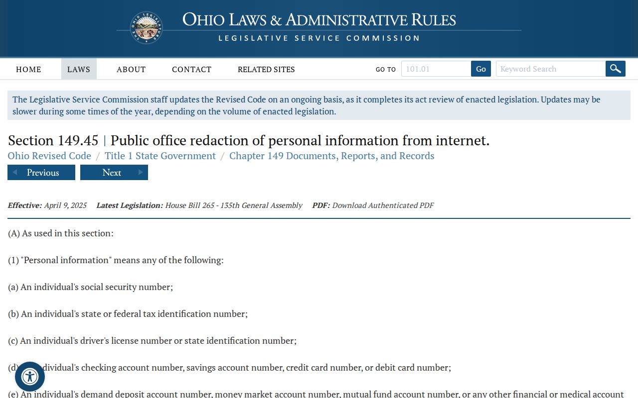
Redaction eligibility and procedure should be confirmed with the agency that holds the particular record.
Lawful Wooster Neighbor Research
Keep the work focused on the limited public fact needed: a boundary, recorded land action, block history, civic organization, or dated election record. Save the source, date, parcel number, and map layer. If information seems incorrect, ask the office that maintains the record about correction or redaction rather than repeating the claim.
Lawful use. Use information about Wooster neighbors for personal safety awareness, property curiosity, family history, or civic context. Never use public records to watch, contact, intimidate, harass, or harm another person.