
Wooster Street Directory Parcel Walkthrough
For a current Wooster address, start with the Wayne County Auditor rather than a name list. Its property search joins an address to a parcel record, owner field, property location, legal description, sales material, and tax-related context. That is a property-administration record, so an owner name does not establish that every person at a Wooster address lives there. Keep the street spelling, direction, type, and parcel number with the result. Those details make the next check much safer when streets carry similar names in different parts of Wayne County.
Then move in a deliberate order: use the map to confirm the Wooster parcel and its adjacent lots, review the transfer reference, verify a land document with the Recorder, use the Board of Elections tools only for the limited voter information they disclose, and turn to local historical directories only when the question is about an earlier period. Each source has a different date and purpose. A careful Wooster street-by-street search records both the source and the date before drawing a conclusion.
- Enter the address in the Auditor search and save the parcel number, situs address, legal description, and current owner field.
- Open the GIS parcel view, click the parcel, and compare its popup with the property record card.
- Use the county Transfer History reference as a lead, then check the recorded instrument for a title question.
- Use the Ohio voter tool for an individual check or the Wayne County street report for range information.
- For an older address, compare the documented Walsh street listing with the dated directory and map sources at the library.
Wooster Street Directory Search Fields
The Wayne County Auditor Property Search does not require a single free-form address guess. Its public form separates the parts of a Wooster address, a useful check when a direction or street type changes the result. The same portal also has owner, parcel, and mobile-home routes. Results can be exported and the displayed page size can be adjusted, but a Wooster export still needs review against the underlying parcel card.
| Auditor field | How it is entered | Why it matters on a Wooster street |
|---|---|---|
| House # | Street number | Matches a numbered Wooster parcel without combining unrelated address parts. |
| Direction | Abbreviation | Distinguishes a directional Wooster street form when the record uses one. |
| Street Name | Name only | Supports a focused Wooster street search before narrowing by type. |
| Street Type | Abbreviation | Keeps a Wooster street type from being mistaken for another form. |
| Owner | Last First | Provides an alternate route when a documented Wooster owner name is known. |
| Parcel number | Exact parcel identifier | Connects a Wooster address result to map, card, and transfer work. |
Advanced county filters include municipal or township, tax district, school district, neighborhood, and related property criteria. They are not a ZIP search. For a Wooster mobile home, the form instead uses registration number, park name, and lot number. Use the most specific field set available, then read the property card rather than assuming a partial result describes the whole address.
Wooster Streets on the GIS Map
The Auditor GIS viewer is the map bridge for a named Wooster street. Search by owner, address, or parcel, click the lot, and record the parcel number, owner, and address shown in its popup. From that popup, the county guide identifies links to the Property Record Card, Transfer History, and Auditor page. Pan along a Wooster block and click each parcel instead of guessing boundaries from a street label alone.
The Wayne County GIS information page introduces the county mapping tools used for parcel-by-parcel work.
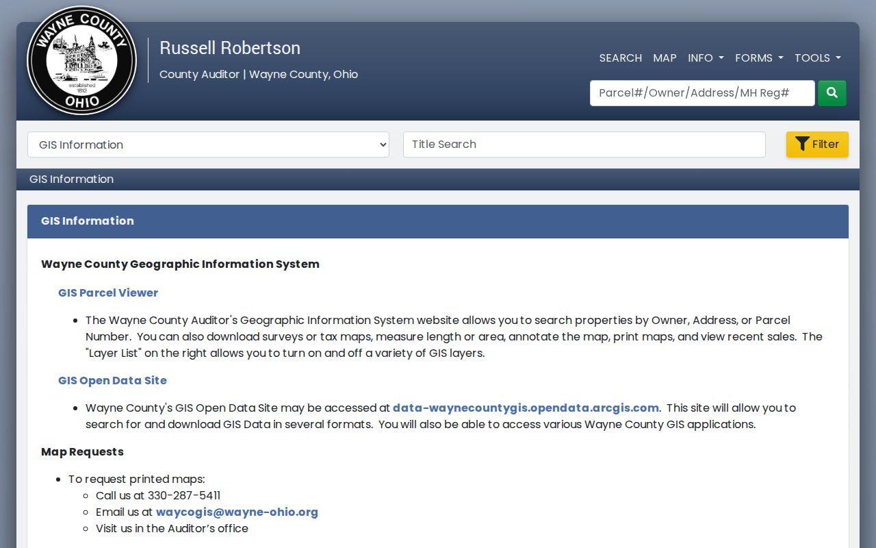
The Wooster map can expose tax maps, surveys, imagery, layers, measuring, markup, and print tools. Preserve the Wooster parcel number with that map context before document research, because the map itself is not a legal title record.
Map-first comparison. The GIS is best for locating and comparing parcels, while the Recorder's recorded instrument is the source to verify a land transfer.
Wooster Street Records by Address
Wooster address research is split among county and city custodians. The Wooster parcel number is the useful handoff between the property card, GIS display, transfer reference, tax context, and recorded land documents. The street name is a different kind of handoff for city planning, permit files, voter street ranges, directories, maps, and newspapers. Do not compress those Wooster records into a single claim about a household.
| Address record | Wooster-area keeper | What it can show | Access route and limit |
|---|---|---|---|
| Wooster parcel/property card | Wayne County Auditor | Parcel, location, legal, valuation, sale, tax, and characteristics sections | Online owner, address, parcel, and advanced searches; not a household roll. |
| Wooster GIS parcel viewer | Wayne County Auditor GIS | Map location, popup owner/address, linked card and transfer pages | Online viewer with layers and map tools. |
| Wooster Transfer History | County GIS system | Reference transfer trail by owner, parcel, township, or map page | Online reference only, not intended for legal use. |
| Wooster recorded deed, plat, or lien | Wayne County Recorder | Parties, legal description, and recorded land action | Online index/image route and Recorder counter; online cutoff is not published. |
| Wooster permit, zoning, or code file | Wooster Building Standards / Planning | Project, application, inspection, or land-use history | OpenGov process or a defined records request; not title evidence. |
| Wooster street-range report | Wayne County Board of Elections | Street ranges used in voter registration infrastructure | Online tools and office help; it is not a household list. |
The Treasurer search adds tax context by parcel, owner, or address, and its delinquent list can be filtered for Wooster City. It can explain a later Wooster tax action, not a conveyance. Pair a tax result with a Recorder instrument and, when needed, a Clerk filing rather than treating a tax entry as proof of title.
Wooster Street Directory Deed Checks
Transfer History accepts a parcel identifier in the county's XX-XXXXX.XXX pattern, such as 37-00019.001, and its owner search can use part of a name. It also offers township or corporation and map-page routes. The county labels this Wooster-area reference guide as unsuitable for legal use. Treat a date, party name, or transfer reference found there as a pointer to the next source.
For a deed chain, take the parcel and legal description to the Recorder-directed Real Property Official Records search. Locate the likely recorded deed by party and date, then capture the grantor, grantee, recording date, book/page or instrument number, and legal description. Search the prior owner as a grantee around the earlier acquisition date. A purchaser can receive more than one parcel in one document, so the legal description and tax-map relationship are the checks against a same-name or similarly numbered address error.
Wayne County does not publish a comprehensive online start year for this index or a current image price. When the web search fails, take the names, estimated date, legal description, and any reference to the Wayne County Recorder at 428 W. Liberty Street, Wooster, or call (330) 287-5460. WCPL's Wooster-area deed index is the local historical fallback. A missing online result is not proof that no deed was recorded.
Wooster Street Permits and Planning Maps
City Building Standards can place construction, demolition, inspection, zoning, or code activity against a Wooster address. That can date a visible change or identify an applicant or affiliation for one project. The City does not expose a general anonymous historical-address search in the material reviewed, so an older Wooster search should begin with a defined address, permit number when known, and date range rather than a broad request.
The Wooster Building Standards page is the city route for the permit and code process.
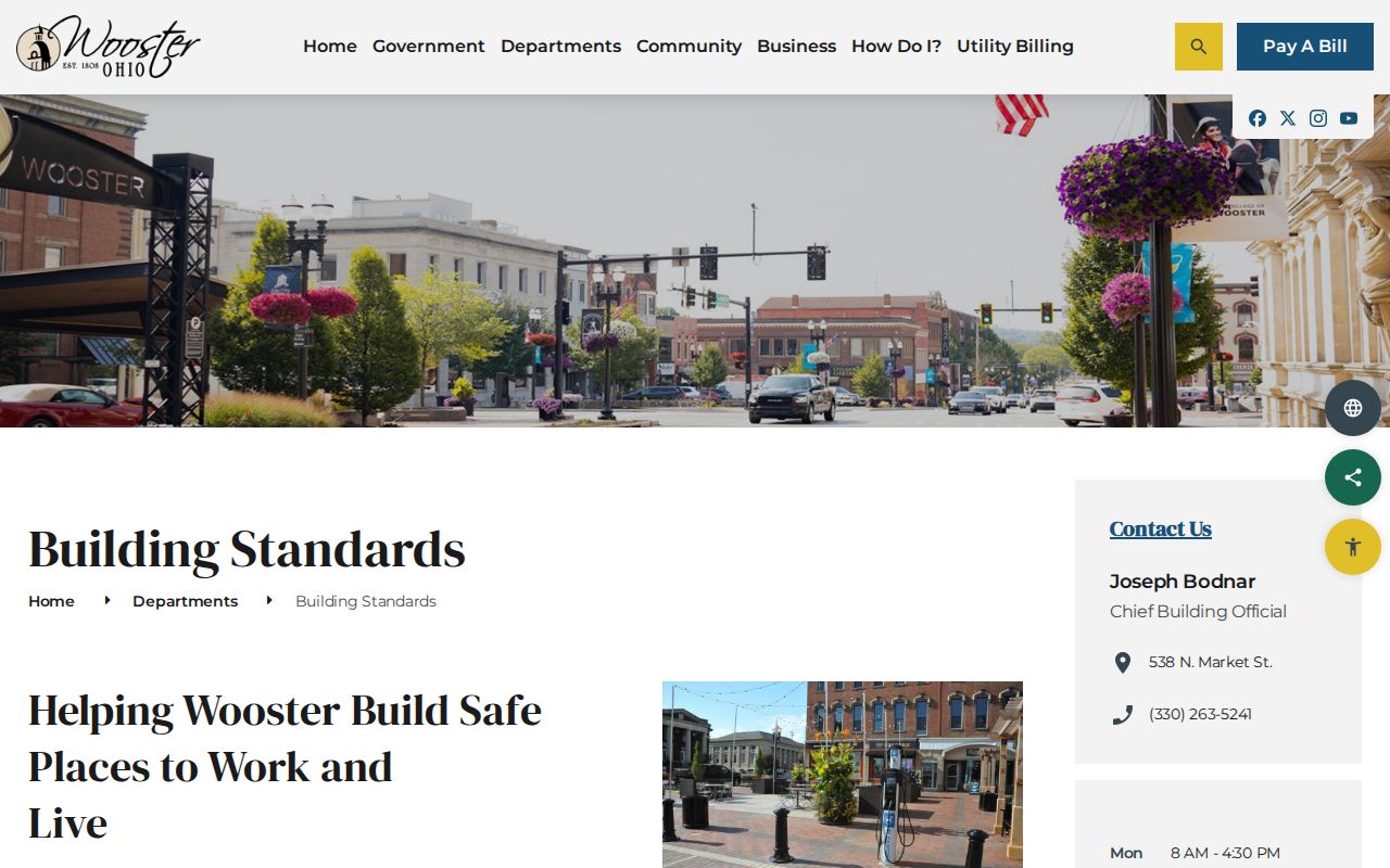
For land-use context, the city Planning GIS supports property searches by address, street, or tax parcel and displays zoning and land-use layers. It complements, rather than replaces, the county parcel viewer.
The Wooster Planning and Zoning page points to the city's planning resources and mapping path.
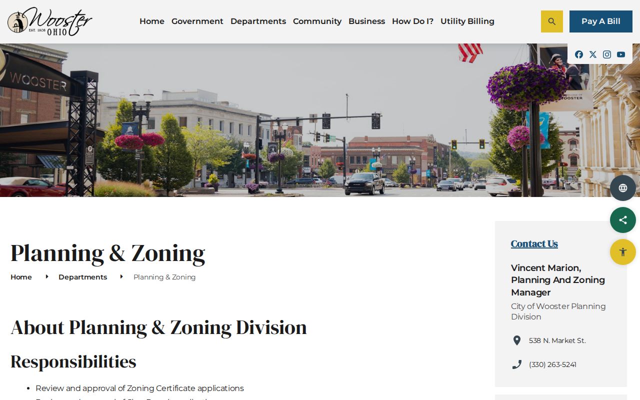
Use the two mapping systems for their distinct questions: the county map ties an address to a tax parcel, while the city layer supplies municipal land-use context.
Walsh and Wooster Street Directories
The strongest verified address-first historical source here is Walsh's Wooster street directory, 1923-1924. It is expressly a street directory, which makes it a better reverse-style lead than the general atlas listings. Capture the historical Wooster street spelling and number first, then check the relevant street listing. Do not assume a modern number had the same form in 1923.
The 1873 and 1897 atlas directories add ward, land-owner, business, and map context. The 1884 Sanborn sheets for east and west downtown, plus the 1873 and 1897 atlases, can test whether a street or building existed and how the block was laid out. They cannot identify every person connected to a location. For the full shelf, dates, and reading method, see the Wooster City Directory collections.
Reading Wooster Street Address Terms
An address can appear in several valid forms across Wooster records. The county distinguishes a physical property location from a tax mailing address, while a legal description may identify a lot, block, subdivision, or survey instead of the familiar street line. Keep all Wooster address forms as separate fields. A mailing address might be a post-office box, office, family contact, or another location, so it should not be relabeled as a current physical address without another source.
- Parcel
- A county tax-administration identifier for a mapped piece of property. It is the bridge from an address search to the property card and map.
- Situs address
- The physical property location recorded for the parcel. It differs from the tax mailing address when notices go elsewhere.
- Plat
- A recorded subdivision or survey document that helps connect a legal description to the land after a split or layout change.
- Criss-cross directory
- A street-order directory section used to examine an address from the street side rather than only by a person's name.
Wooster mailing geography deserves care. A postal address using Wooster does not by itself place the property inside city limits. The County Tax Map Office assigns and maintains county street addresses, while township and municipal boundaries affect parcel records. Preserve the jurisdiction and legal-description fields when comparing maps and directories.
Wooster Street Directory Privacy Limits
A Wooster street result should not be presented as a complete roster. Auditor records concern property and tax administration. The ordinary Ohio Voter Search is a name-and-county lookup, not a browseable street roster. Wayne County's Street Report Generation identifies the ranges used in the registration system, and its voter report tools have their own filters and release rules. Neither source proves that every person at a Wooster address is registered or currently present.
Ohio Revised Code 3503.13 makes registration records generally public but protects Social Security and driver or state-ID numbers, phone numbers, email, confidential voter data, designated protected addresses, proof of citizenship, and other protected information. Ohio Safe at Home also removes participant information from the public statewide voter database. State BMV personal data is separately restricted. Those limits apply to a Wooster voter inquiry and are not a gap to work around.
Lawful personal use. Use Wooster address records for personal, lawful research and never to stalk, harass, intimidate, or harm another person.
Wooster Street Record Access Paths
Online access includes the Auditor property search, county GIS, Transfer History, Treasurer search, Recorder-directed records, Ohio Voter Search, and the Wayne County Board of Elections tools. If a screen does not answer the question, the in-person and phone routes are specific: Auditor (330) 287-5430; GIS map requests (330) 287-5411; Tax Map Office (330) 287-5495; Recorder (330) 287-5460; and Treasurer (330) 287-5450. The Recorder and Treasurer are both at 428 W. Liberty Street in Wooster.
For a Wooster city permit or older file, direct the request to the named custodian with the address, record type, and date range. A focused request under the Ohio Public Records Act, Ohio Revised Code 149.43, is the written fallback when a public record is not available through the existing tools. WCPL adds a different channel for historical Wooster deeds, directories, newspapers, Sanborn maps, and local-history assistance. Record the office, source, and date for every item so the evidence can be checked later.