
Wooster ZIP Code Coverage
Official local sources consistently use 44691 as the primary postal ZIP for Wooster. County offices, court functions, and the Board of Elections list it in their mailing addresses. The source review did not verify a complete inventory of every ZIP that could serve an edge address, nor did it verify a post-office station list. That gap matters. A ZIP code directory should not fill unverified rows with neighborhoods, boundary lines, or station names inferred from a map.
| ZIP | Areas Covered | Post Office | Notes |
|---|---|---|---|
| 44691 | Primary Wooster postal ZIP documented on local civic, county, court, and Board of Elections addresses | Not confirmed in reviewed sources | Verify a particular delivery address with USPS before relying on a postal label |
| Other service ZIPs | Not verified by the reviewed official sources | Not verified by the reviewed official sources | No complete ZIP-boundary, station, or realignment inventory was confirmed |
The visible research gap is a useful result, not an invitation to guess. A valid ZIP for one mail route may still cross municipal or township lines. USPS, not a broad map result or a copied address list, is the right authority to test a specific street address and obtain its correct city-state and ZIP form.
Use the USPS ZIP Code Lookup for an address-to-ZIP or city-state verification.
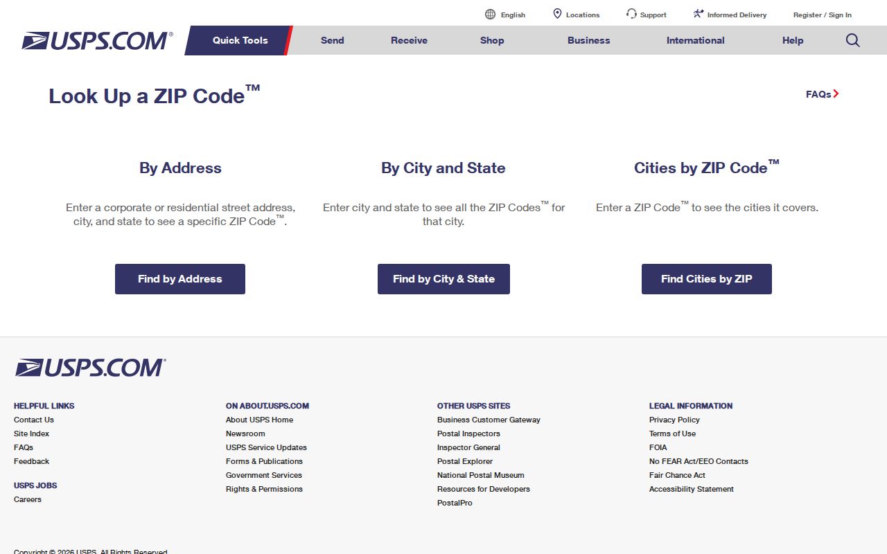
The USPS tool verifies delivery addressing, while county records answer the separate parcel and jurisdiction questions.
Wooster Postal Verification
Start with the complete street address, not a name or a postal-city assumption. At USPS, use the address-to-ZIP service when the street address is known, or use the city-and-state route when only the place is known. Compare the returned delivery format with the address on the document in hand. A ZIP lookup does not confirm an owner, a resident, a parcel boundary, or whether an address lies inside the City of Wooster.
- Enter the full delivery address in USPS address-to-ZIP lookup and retain the returned ZIP or ZIP+4 formatting.
- Check the county Tax Map Office when a street number, street name, or address-to-parcel connection is uncertain.
- Search the Wayne County Auditor by address, owner, or parcel number to locate the relevant parcel record.
- Read the parcel's municipal or township context and its legal description before making a jurisdiction claim.
- Use the Recorder's official records route if a recorded legal-description document is needed.
Wayne County's Tax Map Office assigns county street addresses and handles tax survey maps used in deed, transfer, and lot-split review. It is on the first floor at 428 W. Liberty Street, Wooster, and can be reached at (330) 287-5495. USPS controls postal delivery validation. The Recorder preserves recorded legal descriptions. Those are three different roles, even when all point to the same location.
If an address is not returned as expected, keep the exact spelling and date of the USPS check rather than converting the result into a new city-limit claim. Ask the Tax Map Office about the county street-address or map question, then use the Auditor property card to identify the parcel and its municipal or township field. A historical directory may abbreviate a street, omit a direction, or use a business location, so it should be reconciled against the dated map, parcel, and legal-description evidence before a modern ZIP is attached to it.
Wooster ZIP Code Search Limits
A ZIP is not a general public-person filter in the local tools reviewed. The Wayne County Auditor Property Search accepts owner name, address, parcel number, and manufactured-home criteria. Its advanced screen includes tax district, township or municipal, school-district, neighborhood, land, sale, and building characteristics. It does not document a ZIP filter. Ohio Voter Search requires First Name, Last Name, and County, followed when needed by a street-name selector. It does not offer ZIP browsing.
| USPS ZIP Code Lookup | Accepts a delivery address or city and state to validate postal addressing. |
|---|---|
| Wayne County Auditor | Accepts owner, address, parcel, and stated advanced geographic criteria, but no documented ZIP field. |
| Ohio Voter Search | Requires first name, last name, and county. It has no ZIP filter. |
| Ohio attorney directory | Has ZIP as one professional-directory filter, not as a population directory. |
| Ohio offender search | Reports last-recorded status through its own state system, not a directory of people by ZIP. |
For a resident question within a verified postal area, use the full address to reach a parcel first, then follow the correct record type. The Wooster streets reference takes over when the question becomes a street-level parcel search. Do not describe a name, professional, voter, or offender result as a list of everyone in a ZIP.
Wooster Parcel Geography
Once USPS returns a delivery ZIP, the Auditor is the local bridge to the county parcel record. The Auditor's sample property page shows Summary, Valuation, Legal, Tax Map Information, Residential, Additions, Agricultural, Commercial, Improvements, Sales, Land, and Tax tabs. That set can place a parcel in its county record context, but it does not turn an address search into a ZIP-wide resident roll.
A visible Wayne parcel identifier can look like 37-00019.001 or the broader XX-XXXXX.XXX pattern. Treat the pattern as a locator, not a universal decoder. A parcel number identifies a county record. It does not replace the property page's legal description, tax-map information, or the Recorder's authoritative recorded instrument. A parcel owner and a mailing address may also differ from a person living at the situs address.
View the Wayne County Auditor sample parcel record for the fields visible on a selected parcel.
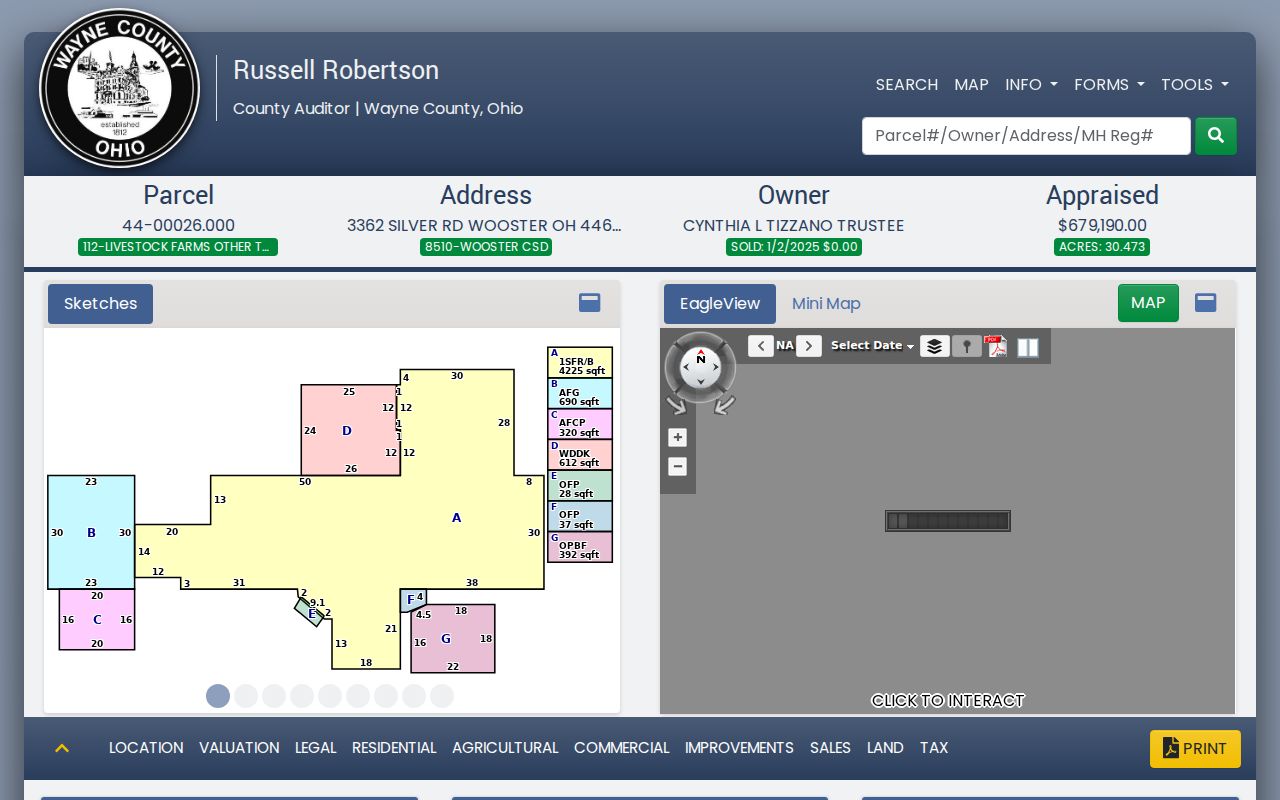
The parcel display supplies a county identifier and record tabs that should be read alongside, not substituted for, USPS delivery data.
Wooster ZIP Code City Mismatch
A Wooster postal city does not prove that an address lies within the City of Wooster. Postal boundaries are delivery geography. City, township, and county jurisdiction are governmental geography. The Auditor's advanced search uses municipal and township filters, while the Tax Map Office handles street-address assignment and tax-map questions. Use those records when the question is annexation, municipal service, property jurisdiction, or the correct parcel.
Postal-city caution. A mailing label can be accurate for delivery and still be the wrong evidence for a city-limit claim. Confirm the parcel's municipal or township field and, when needed, ask the Tax Map Office for the appropriate address or map record.
The Recorder adds another location fact: the legal description in a recorded instrument. It can identify a lot, tract, subdivision, or other legal parcel description that differs from a postal-style street line. Keep postal city, situs address, municipal or township setting, and legal description as separate data points. They may agree, but none should be silently used in place of another.
Wooster ZIP Code Auditor Context
The Wayne County Auditor's public search supports an owner-name route labeled Last First, separate house-number and street fields, parcel-number search, and manufactured-home criteria. Its advanced controls add sales dates and prices, buyer and seller names, tax district, township or municipal, school district, neighborhood, land class, acreage, and residential characteristics. Results can be exported as CSV and a selected parcel leads to its property page.
Those controls provide better local context than a guessed ZIP boundary because they state what the county actually indexes. Search an exact address after USPS validation, then use the map, property record card, tax-map information, and Recorder route as the question requires. The public research did not capture a ZIP field in the Auditor interface, so none should be claimed.
Open the Wayne County Auditor source for the county's current property-search entry point.
The Auditor source is an address and parcel resource, not a ZIP-by-ZIP roll of residents.
Wooster Redaction Update
Online address displays can change when Ohio's privacy law changes. House Bill 265 took effect April 9, 2025 and amended R.C. 149.43, R.C. 149.45, and related county-record provisions. The practical point for a ZIP code directory is narrow: recheck current online-redaction eligibility and procedure with the custodian instead of assuming that an old parcel or tax display will remain unchanged.
This is an access change, not evidence about a person's location. If a page seems incomplete, preserve the parcel, case, or document locator already available and ask the office that holds the source about the lawful public route. A missing online address may reflect a protected field, a redaction, a data correction, or a different record system.
Read the Ohio House Bill 265 record for the dated legislative update.
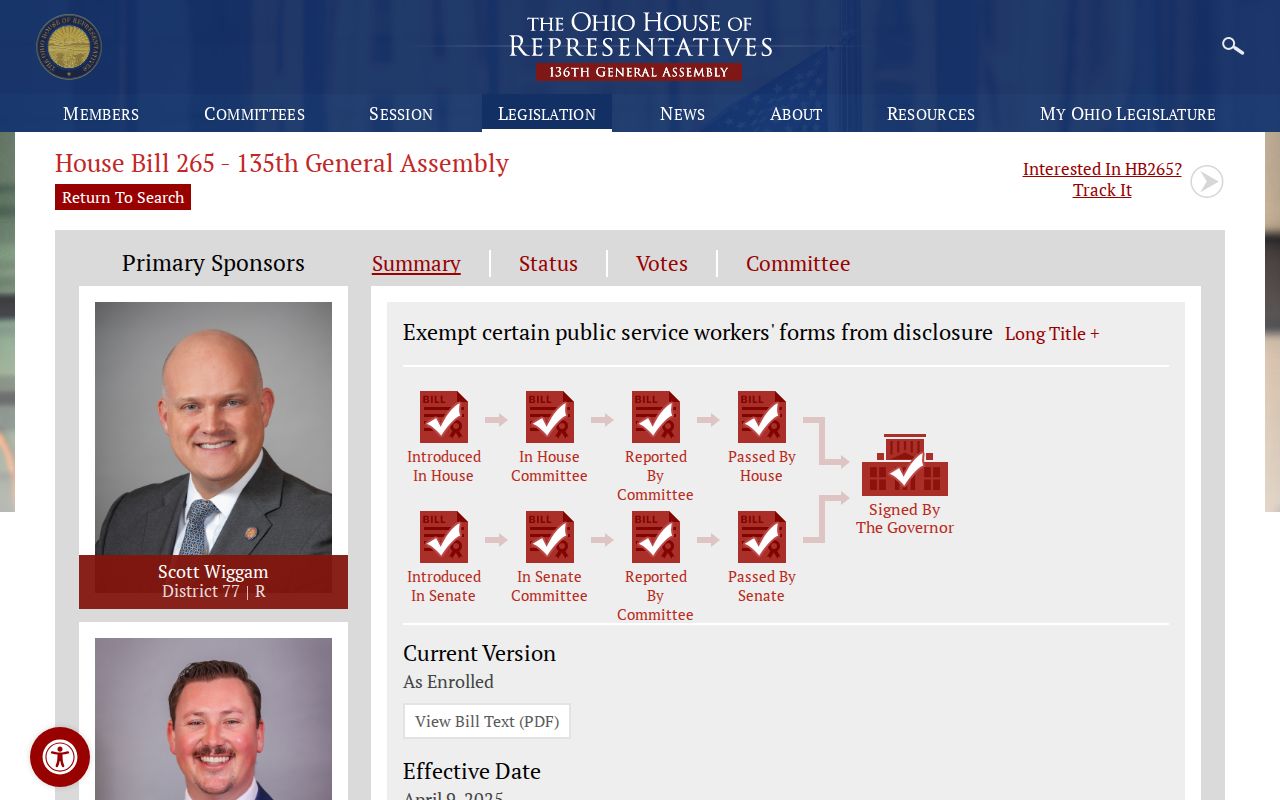
The legislation source supports checking present redaction rules with the responsible office before relying on an online address display.
Wooster ZIP Code Definitions
Postal terms can be useful for addressing, but they should not be overread as county land records or a resident directory. The definitions below describe common ZIP concepts only. They do not assert that Wooster has a separate PO-box-only ZIP, a unique ZIP, or a specific carrier-route boundary. USPS must verify a particular address and delivery format.
- ZIP vs. ZIP+4
- A five-digit ZIP identifies a postal delivery area. ZIP+4 adds four digits that refine delivery sorting for a particular address or address range.
- PO-box ZIP
- A ZIP used for post-office-box delivery. It does not automatically describe the geography of street delivery.
- Unique ZIP
- A ZIP assigned for a particular organization or high-volume destination. Its existence must be confirmed, not presumed from a name or map.
- Carrier route
- A postal delivery grouping used to organize mail delivery. It is not a city-limit or parcel-boundary layer.
A careful ZIP code directory keeps each label in its lane: USPS for delivery validation, Tax Map for street-address and map questions, Auditor for parcel context, Recorder for legal descriptions, and the appropriate public-record custodian for copies or redactions. Record the USPS result and parcel-source date together for later reconciliation.